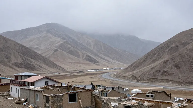
Rain and 45 mph gusts hit southern Colorado as cold front arrives
The San Juan Mountains face ongoing flood risks while the plains brace for a sharp temperature drop this weekend.
By Sofia Suzuki ·
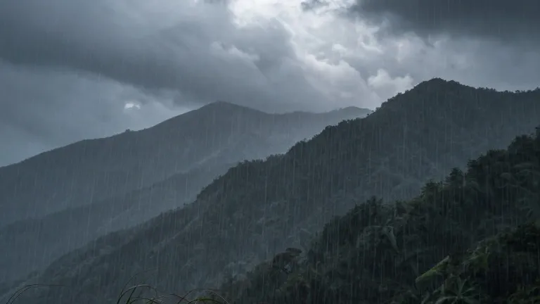
Southern Colorado residents are preparing for a shift in weather patterns that brings heavy rain, strong winds, and a noticeable drop in temperature. A cold front is set to sweep through the region, altering conditions that have been warmer than average in recent days.
On Thursday evening, scattered showers covered the Pikes Peak Region, Pueblo County, and the eastern plains. Overnight lows settled in the 40s and 50s across most of the southern part of the state. The situation grew more dangerous to the west, where the San Juan Mountains and the southwestern corner continued to experience heavy rainfall. Flood watches, severe thunderstorm watches, and multiple flood warnings remained active in those areas, signaling persistent risks of flooding and mudslides.
Friday brought warmer temperatures to several key locations before the front arrived. Colorado Springs saw a low of 51 and a high of 73, with a few early morning showers followed by a drier afternoon. Pueblo recorded a low of 55 and a high of 81, with on-and-off showers throughout the day. Canon City reached 75 after a low of 54, experiencing a brief lull in moisture before the front pushed in. Woodland Park stayed above seasonal averages with a low of 43 and a high of 56, while the plains saw temperatures range from 60 to 83.
As the front moved through, winds increased ahead of the weekend. The San Juans and western slope continued to face heavy rain and flood risks into Friday and through the weekend. Snow levels began to drop as the cold air arrived. The plains, which had seen stray showers on Friday, are expected to pick up more substantial rainfall over the weekend as temperatures fall.
The extended outlook projects that winds will strengthen Friday and into the weekend, with gusts reaching 40 to 45 mph across the area. The cold front is expected to cross Colorado early Saturday, lowering temperatures by 10 to 15 degrees to below average levels. Tropical moisture shifting east will deliver additional precipitation to the region. Total rain accumulations could range from 0.10 to 0.75 inches.
Forecasters indicate that the rain and wind will persist through the weekend before the region dries out. Temperatures are expected to return to more seasonal levels next week, ending the period of above-average warmth and intense precipitation.
The weather shift marks a clear break from the recent pattern, with the combination of cold rain and potential snow on the horizon for higher elevations.
More World · Colorado Springs news · Report a business · Got a Story?